The Path Less Traveled #008 – Experiences Hiking In The Cranberry Wilderness
Andrew D 04.12.21

Experiences Hiking In The Cranberry Wilderness – A Great Place to Crash for the Weekend
In the expansive Monongahela National Forest, there is a portion of land designated as the Cranberry Wilderness which includes the following destinations and opportunities and more:
- Wildlife Management Area
- Car Camping Sites
- Stocked Rivers (Trout!)
- Cranberry Glades
- 124km (77mi) of Hiking Trails
I spent two-and-a-half days hiking 41km (25.5mi) about the Cranberry Wilderness discovering many things worth sharing!
Welcome to our recurring series of “The Path Less Traveled.” In this series, we want to take you along for our exploits out in the wilderness while hiking, camping, exploring, and general adventuring. This will include our small daily victories, foibles, tips, tricks, and reviews of gear we authentically appreciate and frequently utilize. While a well-worn trail can often be the pathway to a leisurely day, the paths less traveled can often spur on some of the greatest memories, misadventures, and fun we could imagine. Join us in the Comments as we share our travels and hopefully, we can all come together for a greater appreciation of the outdoors.
The loop I took in the Cranberry Wilderness shown on the map above does not display a detour taken to discover a possibly haunted and hidden gem of the forest.
WARNING – DO NOT GO OFF TRAIL!
Why?
- Leave No Trace Principle 2: Travel & Camp on Durable Surfaces
- Off-trail exploring increases likelihood of injuries, getting lost, or death
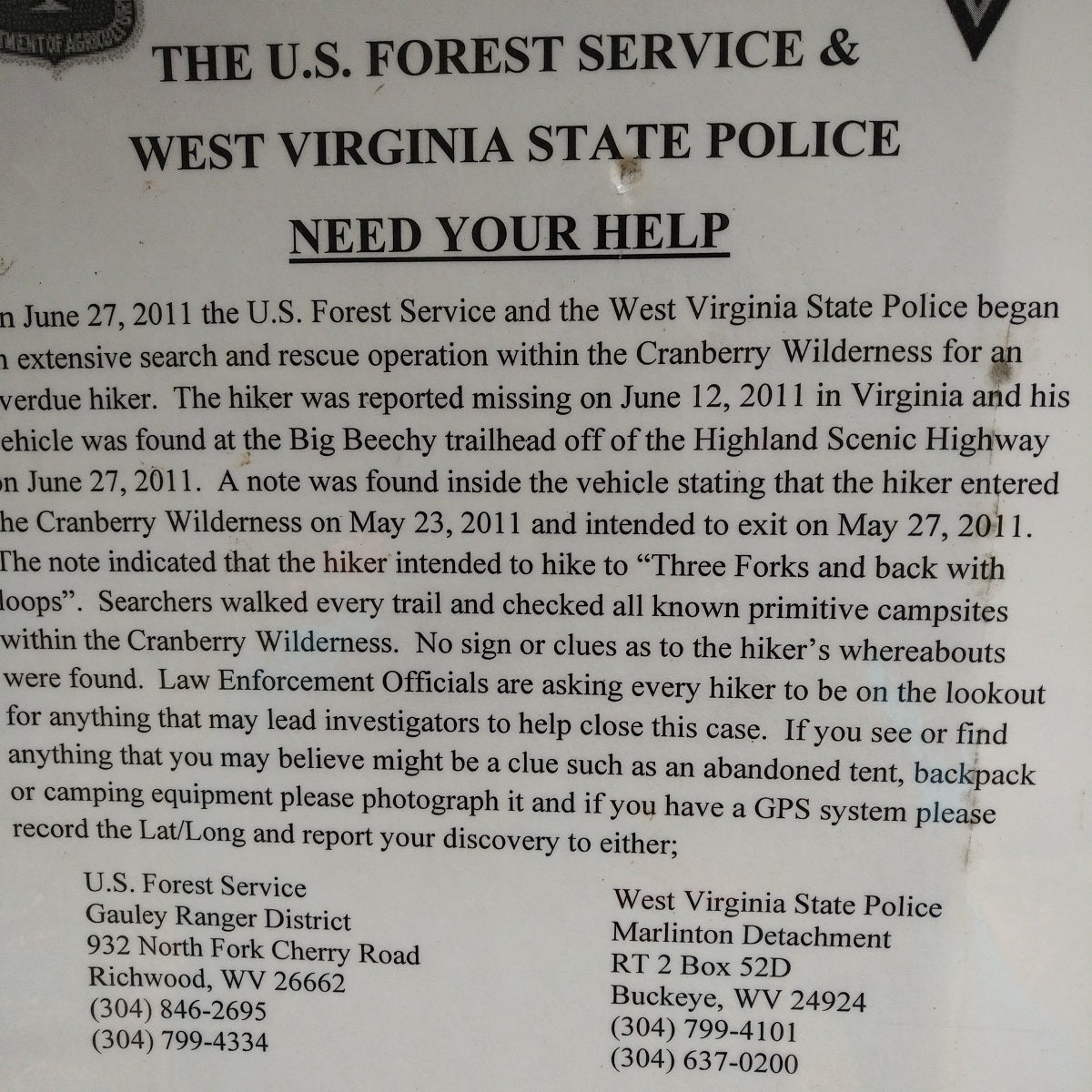
- A well experienced hiker, Michael Camellitti of Virginia, went missing in May 2011. Never found.
- Many sections of WV’s terrain will obfuscate cell-service, and prevent accurate geolocation. Even with skills/technology, it’s easy to get lost in new locations.
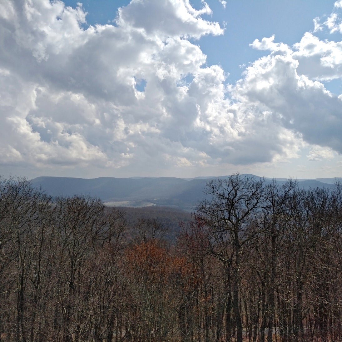
Start off on the Highland Scenic Highway (Great Motorcycling Road!!!) to Public-Road 76. There are many photo-ops along the way, regardless whether you start off from the North (“Seneca Trail”) or South (“Cranberry Vista”) side.
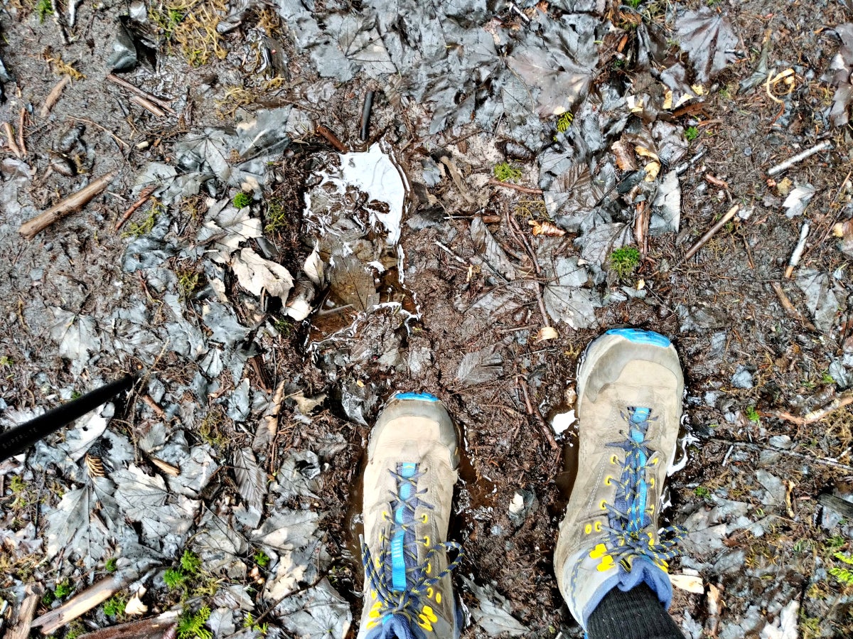
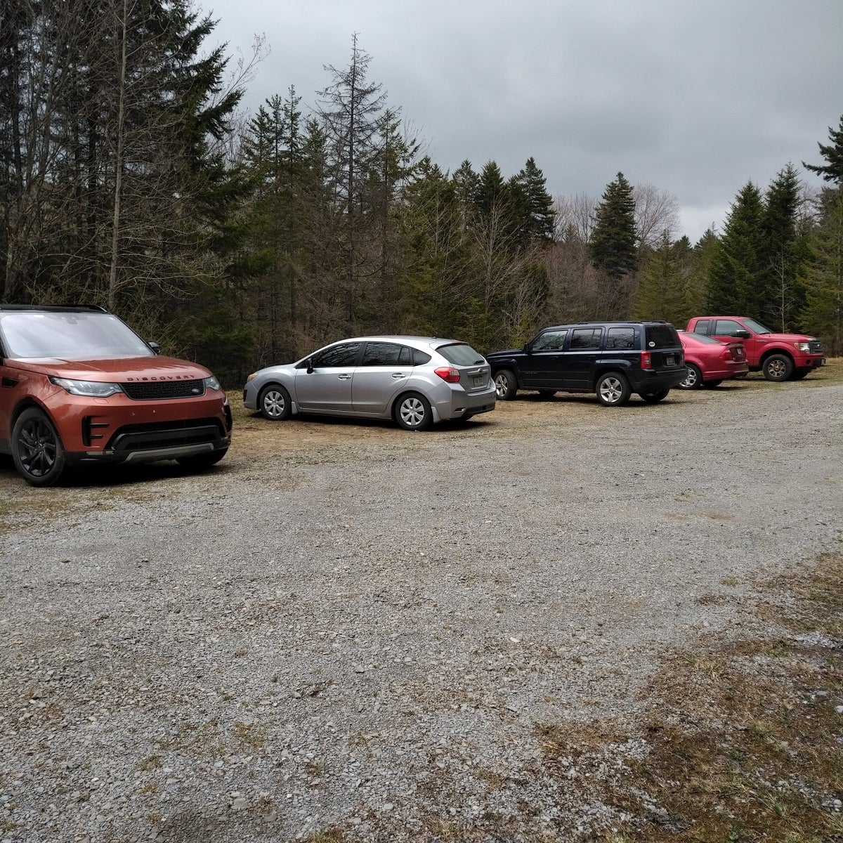
Off of PR76, you’ll be on Big Beechy Trailhead. (Do note, these are unmarked trails.) No other cars were present when departing, despite this trail’s many access-ways to other trails. I believe this is what makes Big Beechy/Middle Fork the best places for hiking in the Cranberry Wilderness. During mile-one, there’s a multitude of muddy spots until you venture onto paths less traveled.
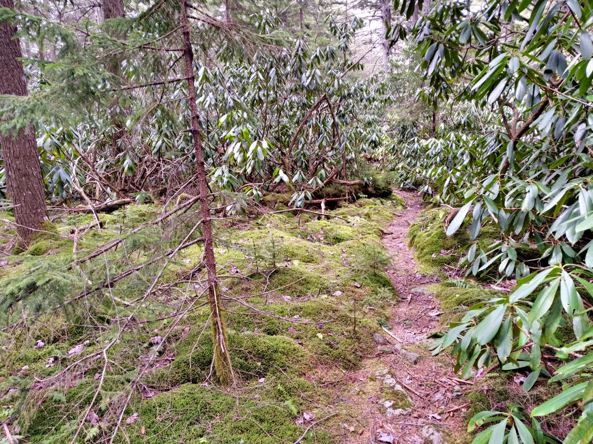
Once you’re “out there,” the trail narrows to 14” and transitions through many astounding Laurel, Pine, and Moss sub-biomes.
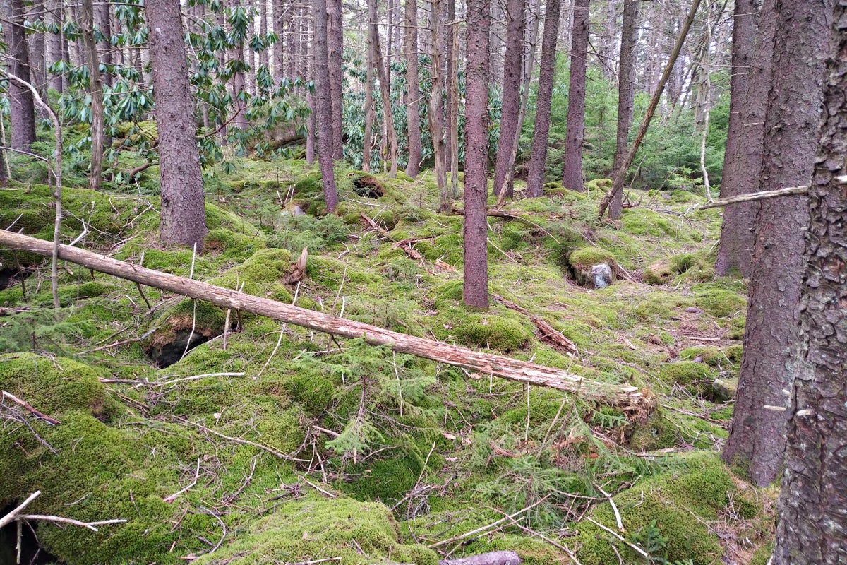
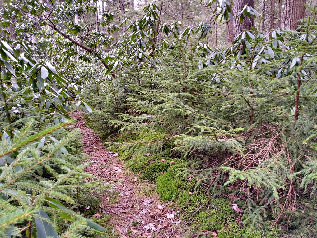
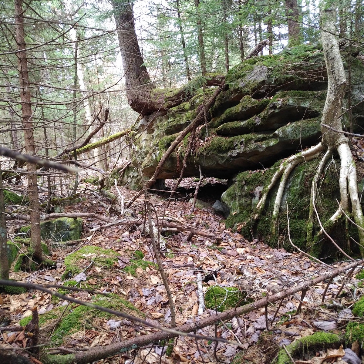
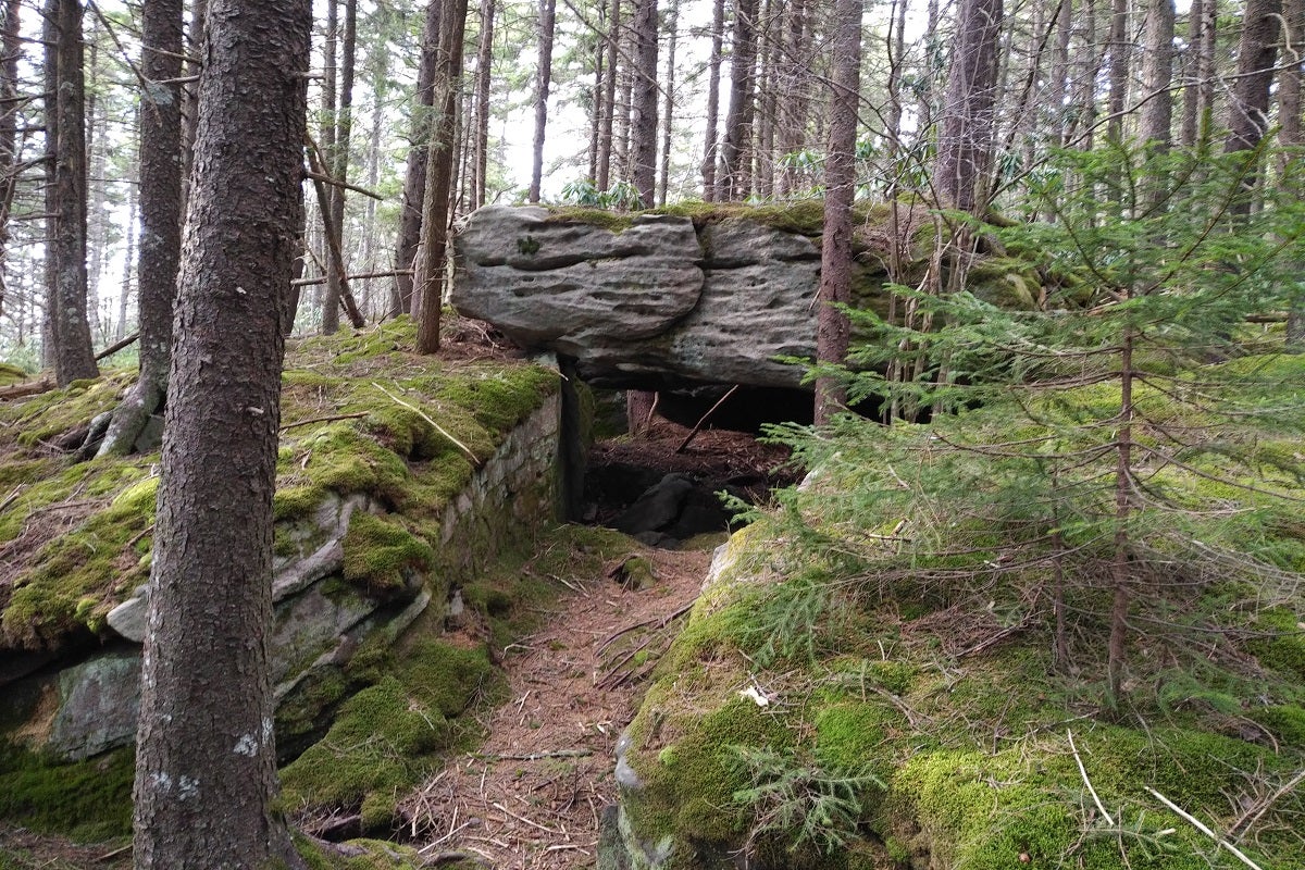
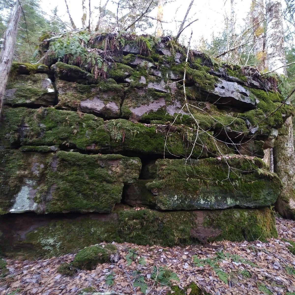
The trail’s path guides hikers through great rock outcroppings to challenge one’s technical abilities (if one chooses to do so). I had personal conflicts-of-interest going on many of the outcroppings as I avoid stepping on moss.
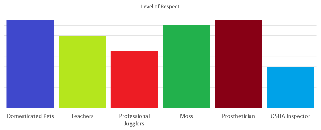
I have a higher level of respect for the fuzzy soft green stuff than I do for professional jugglers or rude OSHA inspectors.
There are multitudes of fallen trees along the trail. Crews do periodic maintenance, but well… nature is nature. After about your 40th humping over one, it becomes tedious.
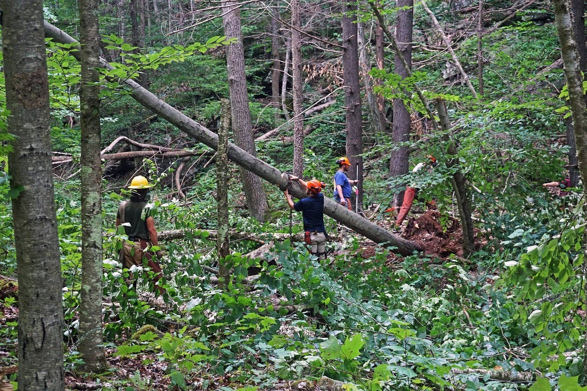
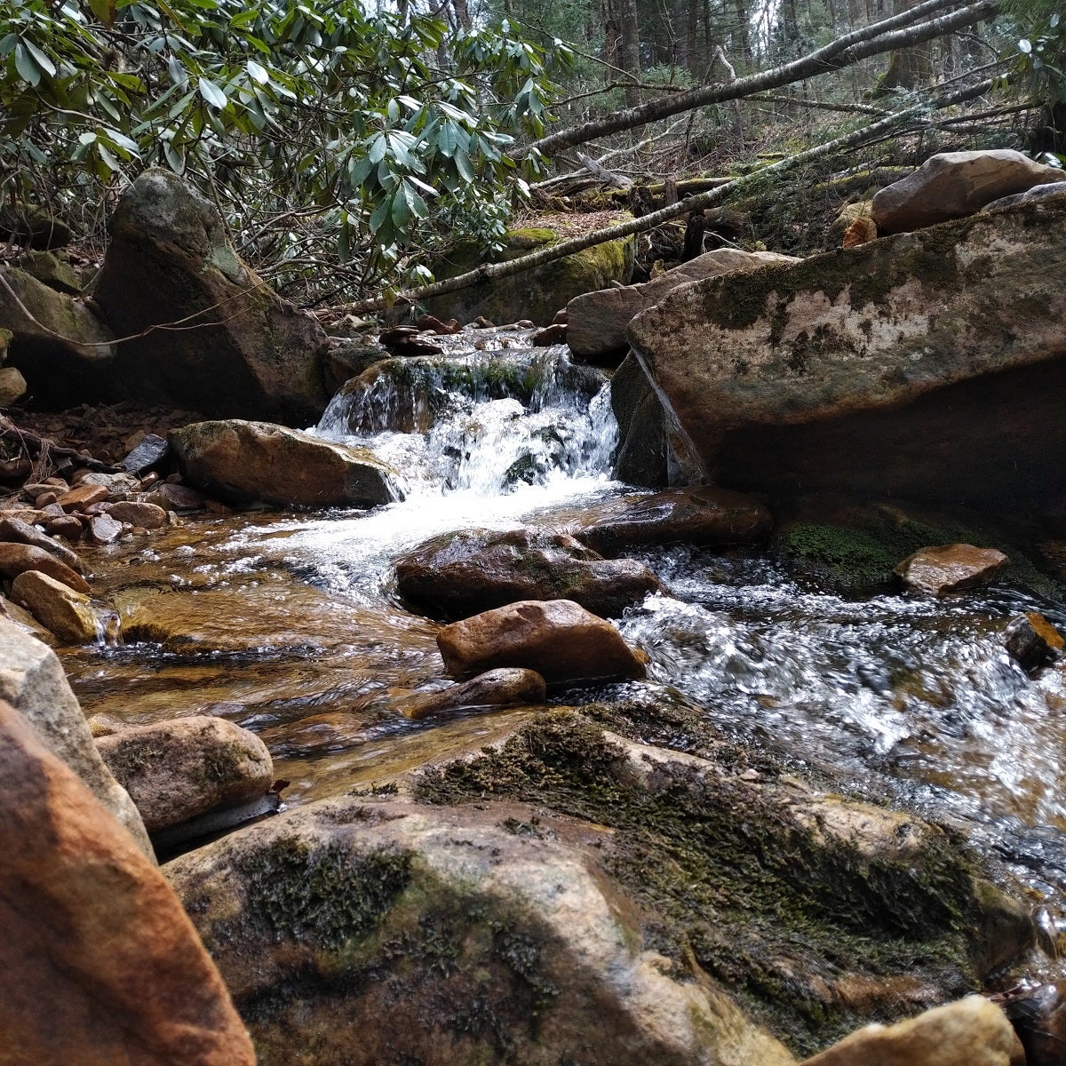
From Big Beechy, you reach the District Line junction; I continued until joining with the Middle Fork Junction. It was mostly downhill for the last 5k, and I kind of plowed through it as I worked 7a-2p before driving 2hr to get to Cranberry; felt spent by the time I saw PR108. Walking past the waterfalls, I didn’t care to stop for photos; they really deserved some shutter clicks. Once in the PR108 parking lot, I had dinner and found a place to sleep.
Day 2 – 2=1 & 1=0
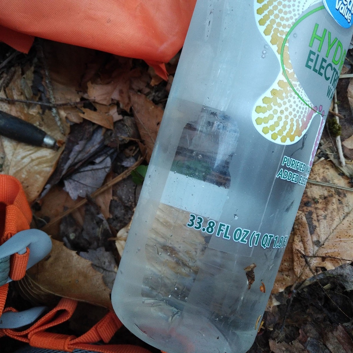
About halfway through the day, I noticed an empty water bottle missing; thank God I always bring two. Water is sparse on the County Line Trail, I decided to hump down 150m (500ft) to a creek and fill up.
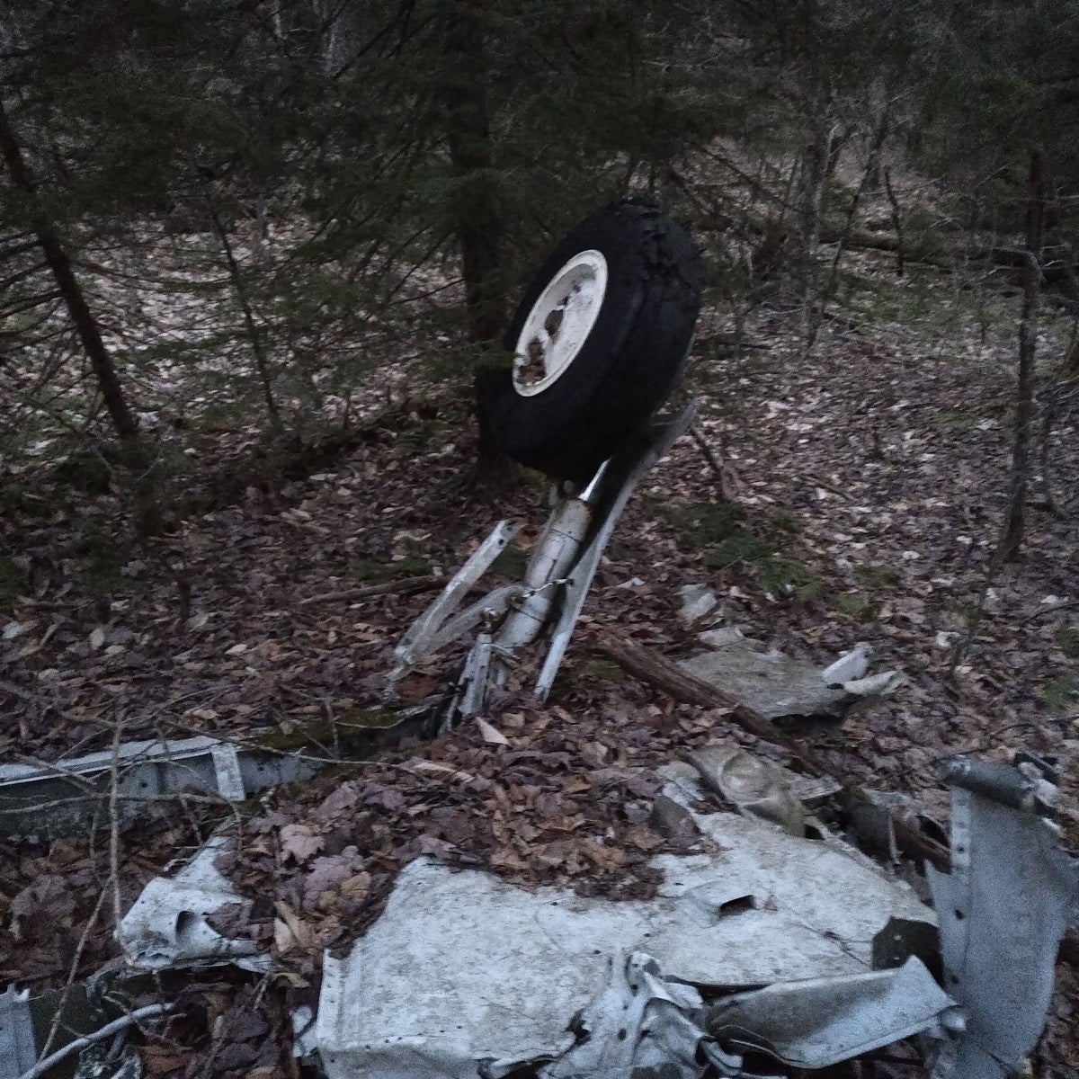
Hiking down the mountain was genuine bushwhacking hell even when taking the best line. Dense, thick swathes of pine saplings/trees everywhere; same on the way back up. About an hour later, I stumbled upon what seemed like a vintage Diet Pepsi can. Then, a cooler lid. GPS wasn’t working well in the ravine; no roads were anywhere nearby. I kept going the planned direction, until I stumbled upon this.
In my best Foghorn Leghorn voice, I let out a:
“What’s that- now I say what’s that dang landing leg doing in the middle of the woods? It didn’t just walk out here.” “That’s a joke son, don’t you get it? Better check on it, yeah.”
And check I did!
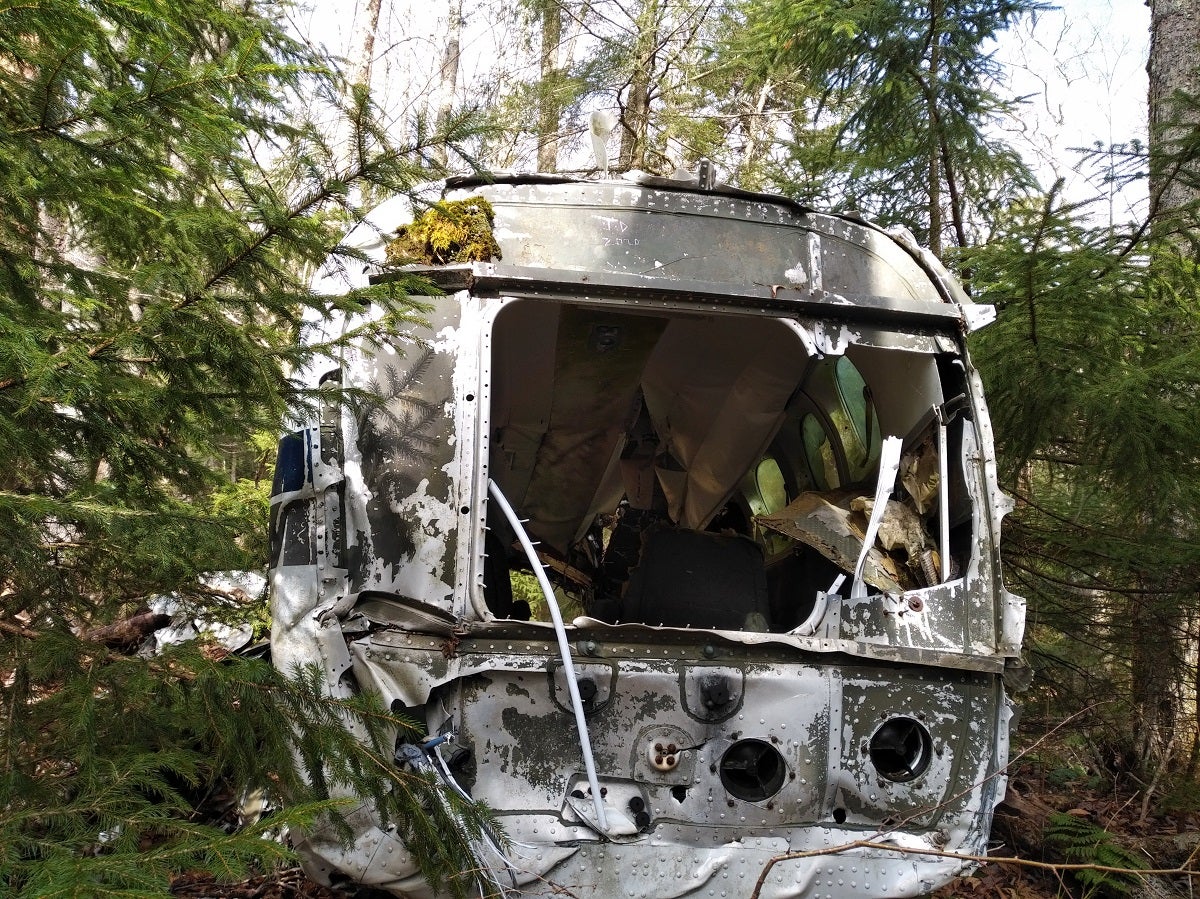
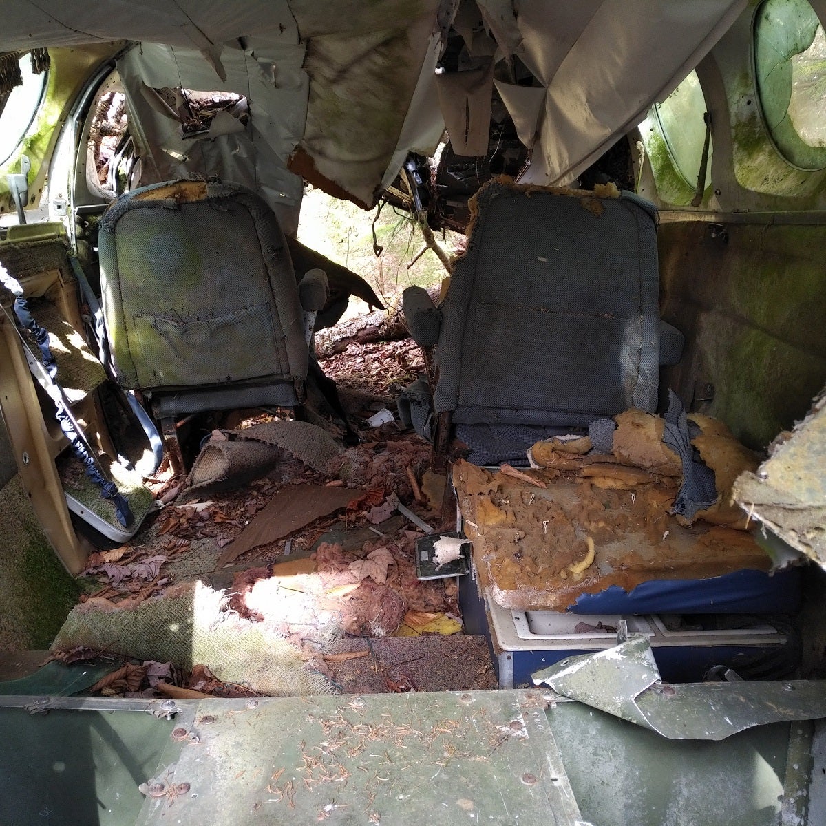
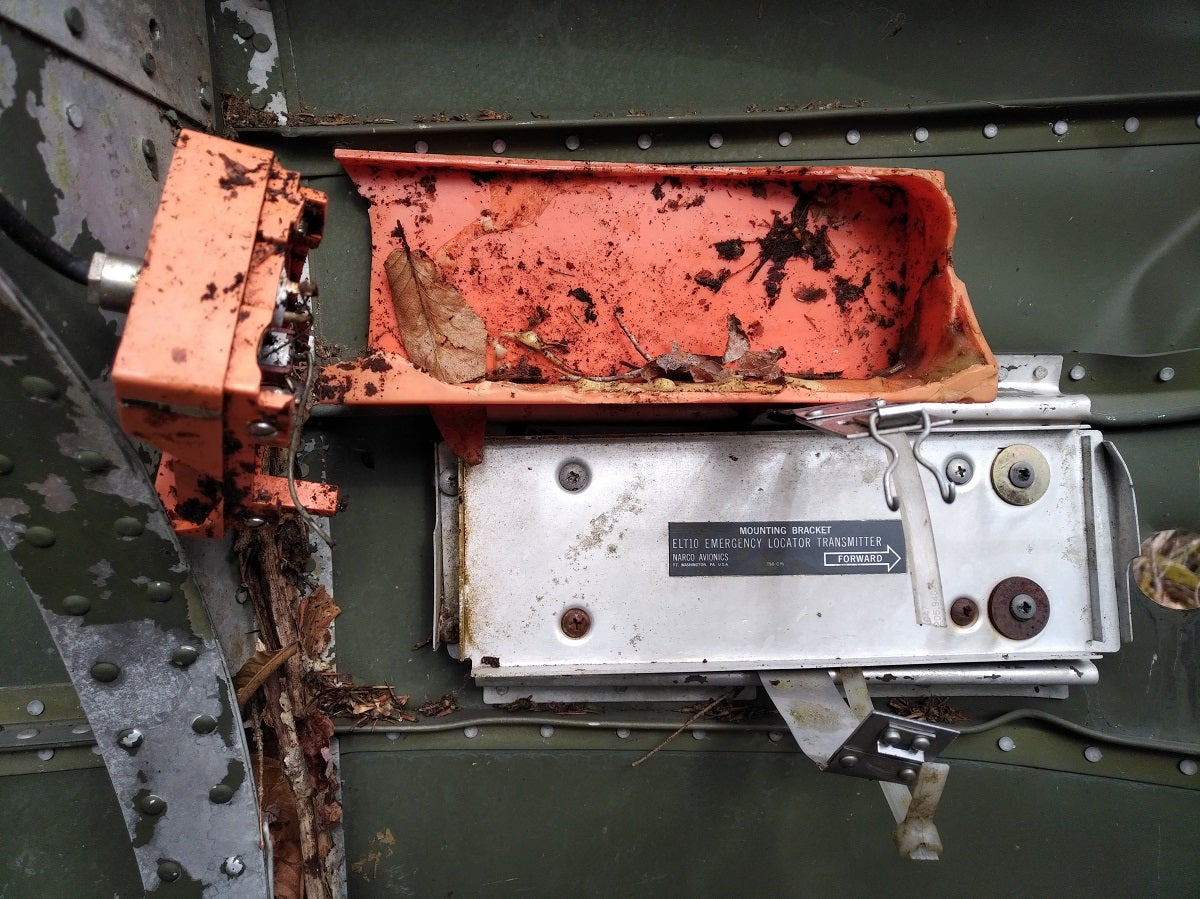
The fuselage of a plane was resting on a mossy rock, appearing untouched for decades. Engines/front-end/instrumentation were nowhere in sight.
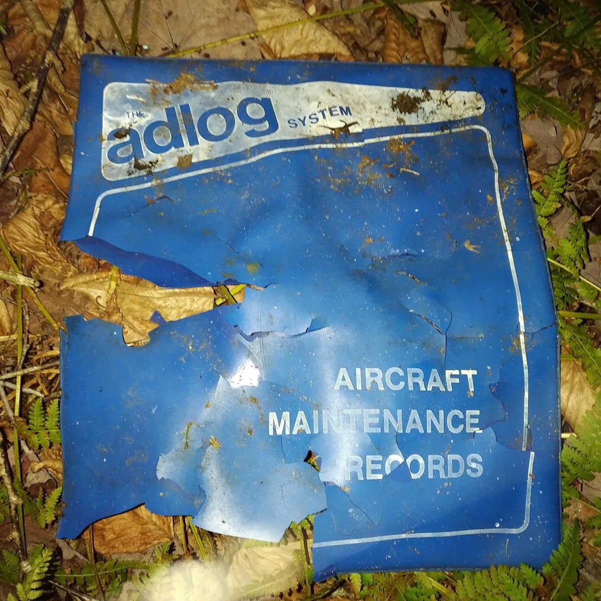
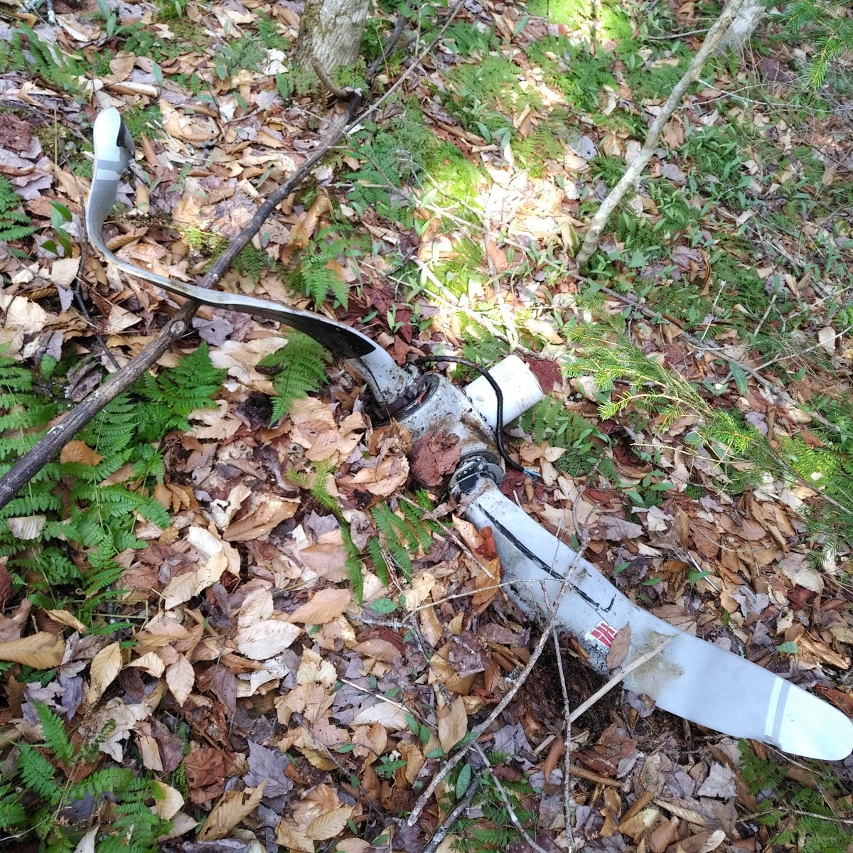
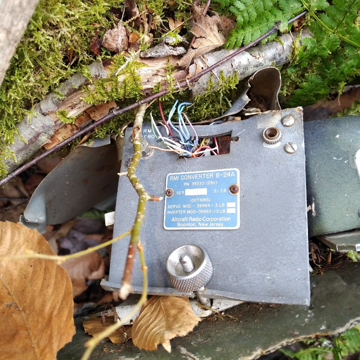
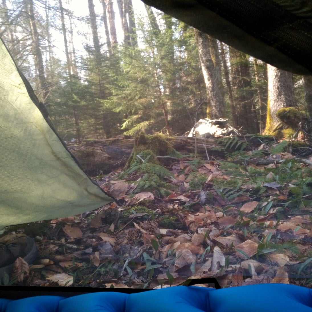
Spent about 2hr looking through, taking photos of debris. Found propellers, still no engines. Ended up camping about 200m (650ft) away from the debris as flat land was as rare as finding knowledgeable employees at K-Mart. Rare enough that I almost considered having a hammock setup.
Almost.
Day 3
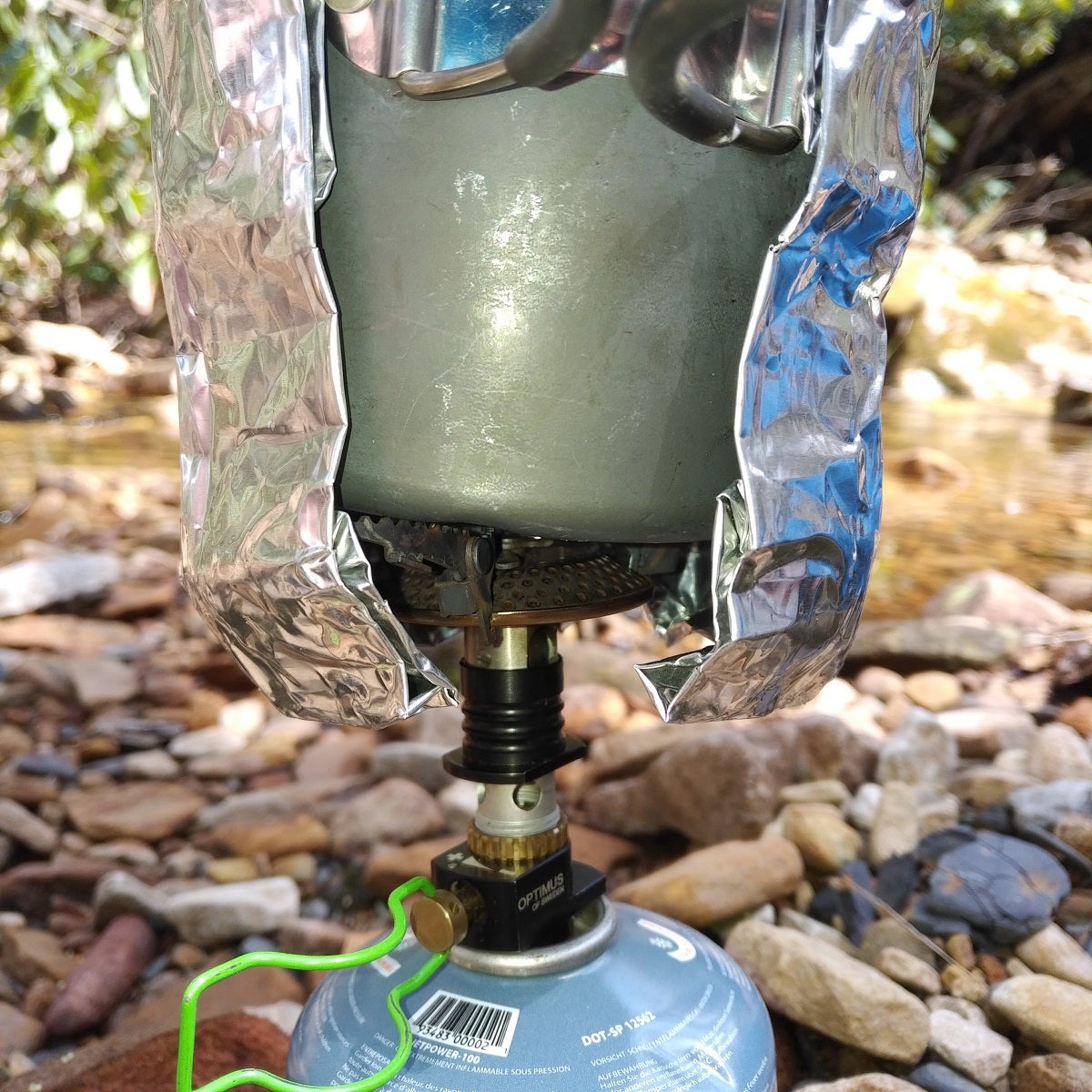
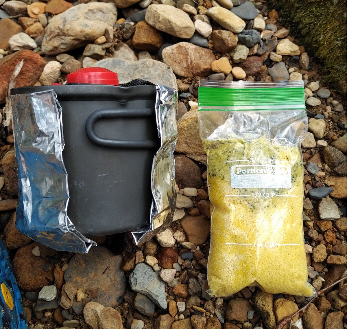
Intermittent rain overnight, but with melatonin and earplugs, I slept like a rock. Woke up not cursed from the wreckage and crossed another creek. Had breakfast while charging phone for GPS reliance. I have refined my cooking system down to a science – it boils 300ml (9 oz) of water in 80 seconds, and condenses all into the 600ml (20 oz) pot. I really love this system and wanna do a cooking post soon.
Back up the mountain, there were a few nice scenes, but mostly wrestling through hordes of 1-4m tall pines nestled together tighter than the crowds at a Black Friday event at BestBuy in the 90’s. If you bushwhack long enough, the bushes eventually whack back. (More on this later…)
Finally got on District Line, back to Big Beechy and made it to my car. Luckily my gear, curiosity, knowledge, and food got me through.
All in all, Cranberry Wilderness is a wonderful place that deserves your footsteps, attention, and Instagram posts. Reflecting on the hike, I really appreciated the landscape, the ability to choose multiple ways to get on/off trail, and solitude; being able to escape the “real world!”
Trail Review
Difficulty ?? out of 5
Terrain 
Scenery ??? out of 5 (Easily 4 in full bloom!)
Water Availability ?.5 out of 5. Don’t expect refills. Bring enough for 24hr, unless you go down (and back up) to a stream.
What I Learned
- Trees Fight Back – Ended up with a Corneal Abrasion on my left eye. Something whacked me good.
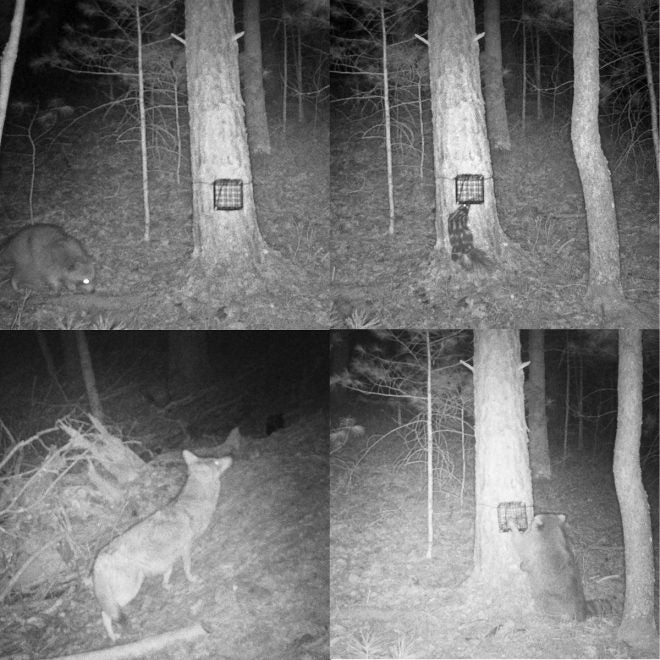
- Critters are plentiful. (See photos)
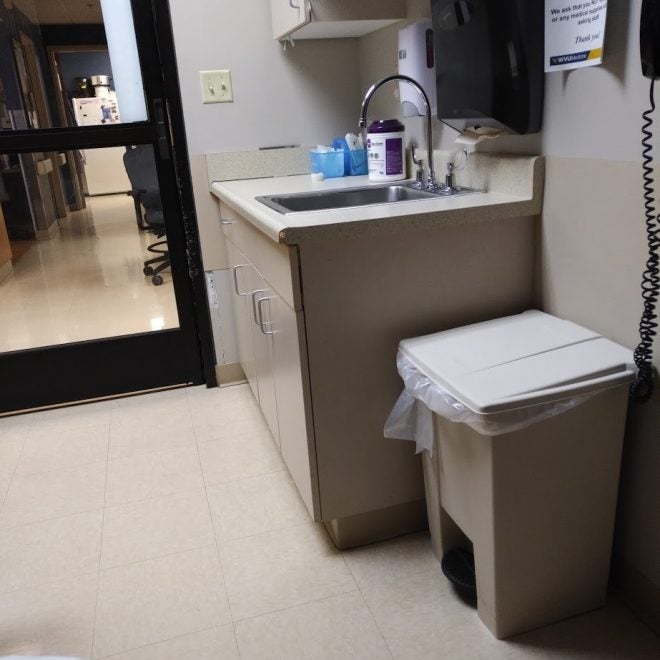
- Trail was clean – Only saw a single tissue left behind.
- Expect the Unexpected
- NTSB archives reports for every air incident.
- Even when missing city-life, there’s something about West Virginia’s nature that replenishes my soul.

