Using Google Earth and Screenshots to Create Breadcrumbs
Kevin Felts 05.29.18

Anyone remember the story of Hansel and Gretel and how they used breadcrumbs to leave a trail? The good news, and hopefully without running into a witch, we can use our smart phones, Google Earth and screenshots to leave a trail.
The reader may ask, “Why would anyone want to mark their trail?”
Here is a recent example.
May 28, 2018 my oldest son and I ventured off into some sloughs along the Angelina River near Jasper, Texas. One of the sloughs we decided to explore was one I had never been down.
A little back story. I have been fishing, camping and exploring those sloughs for close to ten years. However, the slough we were going down was usually blocked by lily pads. The harsh winter of 2017 – 2018 must have killed off a bunch of the lily pads because the slough was clear.
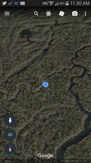
Screenshots were taken every so often as we meandered through the maze of sloughs. However, I have a confession to make. The screenshots were also places which looked good for fishing. These were usually corners in the slough where the boat could be beached, then a few hours spent fishing from land.
So not only were the screenshots to help find our way back, they were used to mark places I wanted to return to.
Marking places with Google Earth is much faster (and easier) than getting the old school GPS out and saving waypoints. It seems as if the old school GPS units are becoming obsolete. We will save that topic for another article.
Once I got home, the screenshots were copied from the phone to the home computer, then compared to Google Earth.
For an added bonus, the whole area is public hunting land. So not only were places marked which look good for fishing, but also places I may want to hunt during the 2018-2019 hunting season. As long as there is not witches house made from candy in the woods, everything should be fine.
